


Abstract
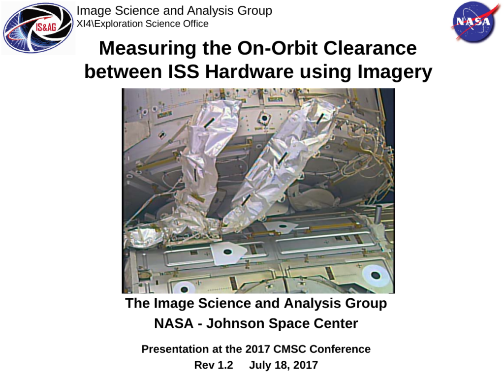
When photogrammetrists read an article entitled “Photogrammetry in Space” they immediately think of terrestrial mapping using satellite imagery. However in the last 19 years the roll of close range photogrammetry in support of the manned space flight program has grown exponentially. Management and engineers have repeatedly entrusted the safety of the vehicles and their crews to the results of photogrammetric analysis. In February 2010, the Node 3 module was attached to the port side Common Berthing Mechanism (CBM) of the International Space Station (ISS). Since this was not the location at which the module was originally designed to be located on the ISS, coolant lines containing liquid ammonia, were installed externally from the US Lab to Node 3 during a spacewalk. During mission preparation I had developed a plan and a set of procedures to have the astronauts acquire stereo imagery of these coolant lines at the conclusion of the spacewalk to enable us to map their as-installed location relative to the rest of the space station. Unfortunately, the actual installation of the coolant lines took longer than expected and in an effort to wrap up the spacewalk on time, the mission director made a real-time call to drop the photography.
Cite this paper
Donn Liddle. NASA Johnson Space Center, Image Science and Analysis Group. Presented at the Coordinate Metrology Systems Conference 2017, Snowbird, Utah, July 17-21, 2017. Coordinate Metrology Society, reference CMS-2017-004.