


Abstract
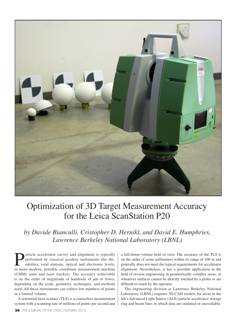
Particle accelerator survey and alignment is typically performed by classical geodesy instruments like theodolites, total stations, optical and electronic levels, or more modern, portable coordinate measurement machine (CMM) arms and laser trackers. The accuracy achievable is on the order of magnitude of hundreds of µm or fewer, depending on the scale, geometry, techniques, and methods used. All these instruments can collect low numbers of points in a limited volume. A terrestrial laser scanner (TLS) is a contactless measurement system with a scanning rate of millions of points per second and 26 THE JOURNAL OF THE CMSC/AUTUMN 2015 a full-dome-volume field of view. The accuracy of the TLS is on the order of some millimeters within its range of 100 m and generally does not meet the typical requirements for accelerator alignment. Nevertheless, it has a possible application in the field of reverse engineering in geometrically complex areas, or whenever surfaces cannot be directly touched by a probe or are difficult to reach by the operator. The engineering division at Lawrence Berkeley National Laboratory (LBNL) requires 3D CAD models for areas in the lab’s Advanced Light Source (ALS) particle accelerator storage ring and beam lines in which data are outdated or unavailable.
Also published as CMS-2015-014, CMSC 2015, Hollywood, FL.
Cite this article
Davide Bianculli, Cristopher D. Hernikl, David E. Humphries. Lawrence Berkeley National Laboratory (LBNL). The Journal of the CMSC, Volume 10, Number 2, Autumn 2015. Coordinate Metrology Society, reference CMSJ-10-2-04.