


Abstract
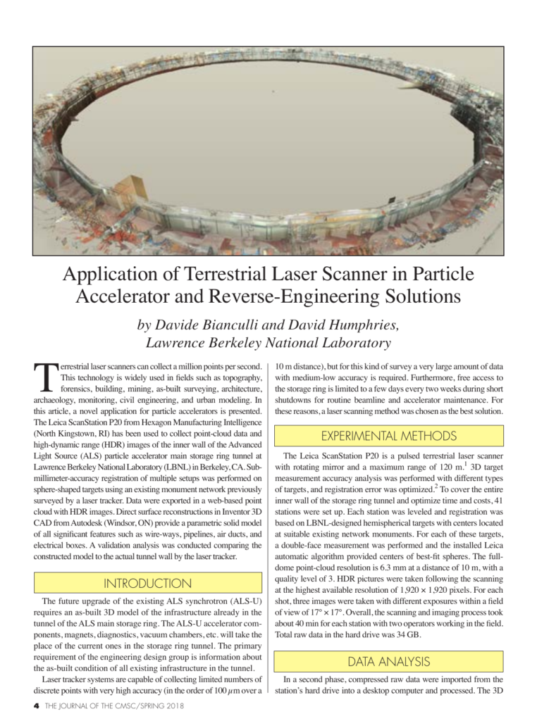
Terrestrial laser scanners can collect a million points per second. This technology is widely used in fields such as topography, forensics, building, mining, as-built surveying, architecture, archaeology, monitoring, civil engineering, and urban modeling. In this article, a novel application for particle accelerators is presented. The Leica ScanStation P20 from Hexagon Manufacturing Intelligence (North Kingstown, RI) has been used to collect point-cloud data and high-dynamic range (HDR) images of the inner wall of the Advanced Light Source (ALS) particle accelerator main storage ring tunnel at Lawrence Berkeley National Laboratory (LBNL) in Berkeley, CA. Submillimeter-accuracy registration of multiple setups was performed on sphere-shaped targets using an existing monument network previously surveyed by a laser tracker. Data were exported in a web-based point cloud with HDR images. Direct surface reconstructions in Inventor 3D CAD from Autodesk (Windsor, ON) provide a parametric solid model of all significant features such as wire-ways, pipelines, air ducts, and electrical boxes.
Also published as CMS-2017-014, CMSC 2017, Snowbird, UT.
Cite this article
Davide Bianculli, David Humphries. Lawrence Berkeley National Laboratory. The Journal of the CMSC, Volume 13, Number 1, Spring 2018. Coordinate Metrology Society, reference CMSJ-13-1-01.