


Abstract
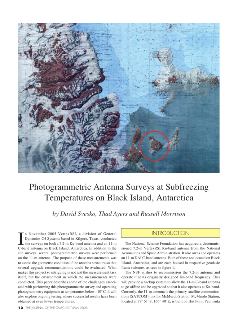
In November 2005 VertexRSI, a division of General Dynamics C4 Systems based in Kilgore, Texas, conducted site surveys on both a 7.2-m Ku-band antenna and an 11-m C-band antenna on Black Island, Antarctica. In addition to the site surveys, several photogrammetric surveys were performed on the 11-m antenna. The purpose of these measurements was to assess the geometric condition of the antenna structure so that several upgrade recommendations could be evaluated. What makes this project so intriguing is not just the measurement task itself, but the environment in which the measurements were conducted. This paper describes some of the challenges associated with performing this photogrammetric survey and operating photogrammetry equipment at temperatures below –10º C. It will also explore ongoing testing where successful results have been obtained at even lower temperatures. it is possible to make very precise measurements of the length or width of an object to a degree of varying accuracy. It is not possible to measure depth in a single image. Depth is perceived by examining an object in the image and comparing it to some scale based on prior experience. That is, if the scale of an object is smaller, an assumption can be made that it is farther away. Unfortunately, there is no reasonable way of quantifying this (depth) with usable accuracy. By acquiring multiple images of the object from convergent angles (as seen in figure 2), lines of sight to common points or targets on the obje
Cite this article
David Svesko, Thad Ayers, Russell Morrison. The Journal of the CMSC, Volume 1, Number 2, Autumn 2006. Coordinate Metrology Society, reference CMSJ-01-2-02.