


Abstract
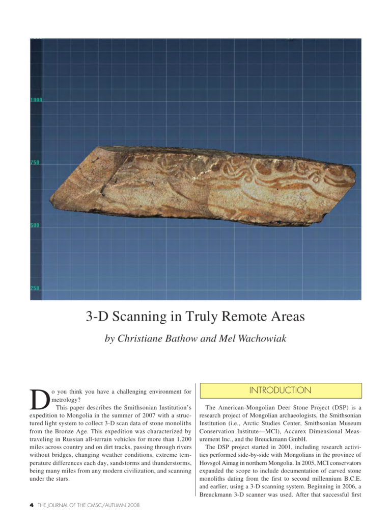
Do you think you have a challenging environment for metrology? This paper describes the Smithsonian Institution’s expedition to Mongolia in the summer of 2007 with a structured light system to collect 3-D scan data of stone monoliths from the Bronze Age. This expedition was characterized by traveling in Russian all-terrain vehicles for more than 1,200 miles across country and on dirt tracks, passing through rivers without bridges, changing weather conditions, extreme temperature differences each day, sandstorms and thunderstorms, being many miles from any modern civilization, and scanning under the stars. trip in 2006, a Breuckmann system again played a key role for research in Mongolia in 2007. The 2007 on-site project group included Harriet F. Beaubien, Paula DePriest, Ph.D., William W. Fitzhugh, Ph.D., from Smithsonian Institution and his team, Mongolian archeologists, and Christiane Bathow from Breuckmann GmbH. The 3-D imaging component is of particular importance, as it allows precise and high-resolution metrological information, describing the surface geometry of a 3-D object, and is captured without touching the original. In conjunction with other documentation, the digital records are to be used for base-line archival records, as well as research and education.
Cite this article
Christiane Bathow, Mel Wachowiak. The Journal of the CMSC, Volume 3, Number 2, Autumn 2008. Coordinate Metrology Society, reference CMSJ-03-2-01.